Bells Beach: the steps, the surf and the people who looked after it
Compiled by Surf Haunts · Updated 2026-09-20
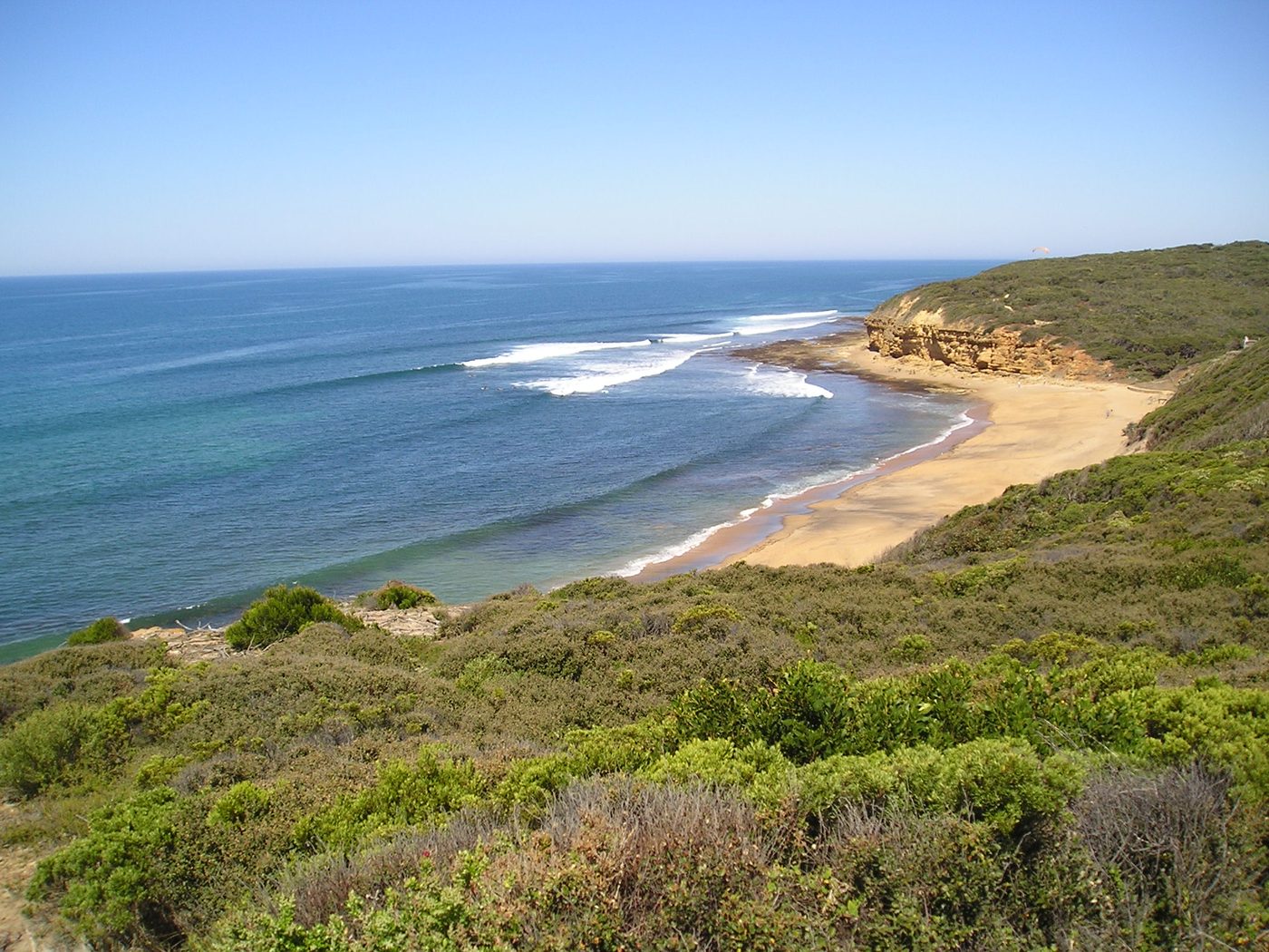
The view from above Bells Beach takes in quite a lot: low scrub, yellow-brown cliffs, a sweep of sand and lines of white water. The steps down are part of that familiar scene. But there's a story behind the paths and vegetation too, involving people who wanted to surf here and gradually had to work out how to look after the place.
The place behind the name
Near Torquay on Victoria's Surf Coast, the reserve is on Wadawurrung Country. Its land manager identifies it as Bells Beach / Djarrak.
The beach, cliffs and coastal heath belong in the same picture. The stairs connect the clifftop with the sand, while the surrounding paths and fencing help keep foot traffic out of the vegetation.
A contest with the wrong year on the prizes
The first surf contest at Bells was a fairly modest setup. The Australian National Surfing Museum's account of the 1962 gathering describes folding card tables and a megaphone on the beach.
It had originally been planned for New Year's Eve 1961, but took place on 26 January 1962. The prize pennants still carried the earlier year. That small printing detail helped keep an argument about the date going long after the contest was over.
Plant a tree instead
More people coming to Bells meant more pressure on the land. Concern about damage to native vegetation helped lead to the creation of the surfing recreation reserve in 1971.
One response was very practical. In 1971 and 1972, surfers were encouraged to plant trees instead of paying an entrance fee. The land manager's history records more than 400 trees planted through the initiative.
Replanting, fencing and defined paths became part of the work to reduce erosion and restore the coastal heath. Those quiet bits of work are part of the place's history too.
What do you remember?
Was it the view from the top, the walk down, or a day spent watching from the beach? Perhaps you've got an old photograph with a detail that's changed since.
If you have a memory, a correction or a useful source, email us. We'll ask before publishing your contribution and agree with you how to credit it.
Our Bells Beach print
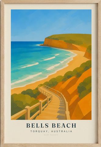
Our illustration starts with the pale stair rails, then follows the orange cliffs and green scrub down towards the bay. It's an interpretation of the landscape, not a record of the conditions on a particular day. You can see the Bells Beach print in the collection.
Compiled from public historical sources and fact-checked against them at the time of writing – not a first-hand or local account. Corrections and memories are welcome; we verify before publishing anything sent in.