Surf spot stories and history
Local history, old photos and things we didn’t know about the places in our prints. We’ll keep adding to these pages as we find more.
More places to get to know
North America
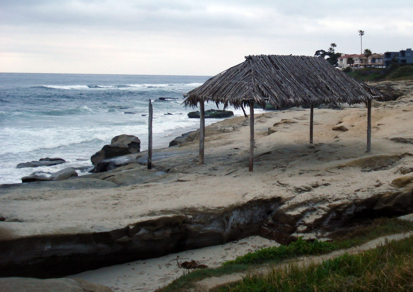
La Jolla · California
Windansea
Surfers built the shack after World War II and have rebuilt it after storms ever since. A club formed just to enter a 1963 Malibu contest – and swept it.
California
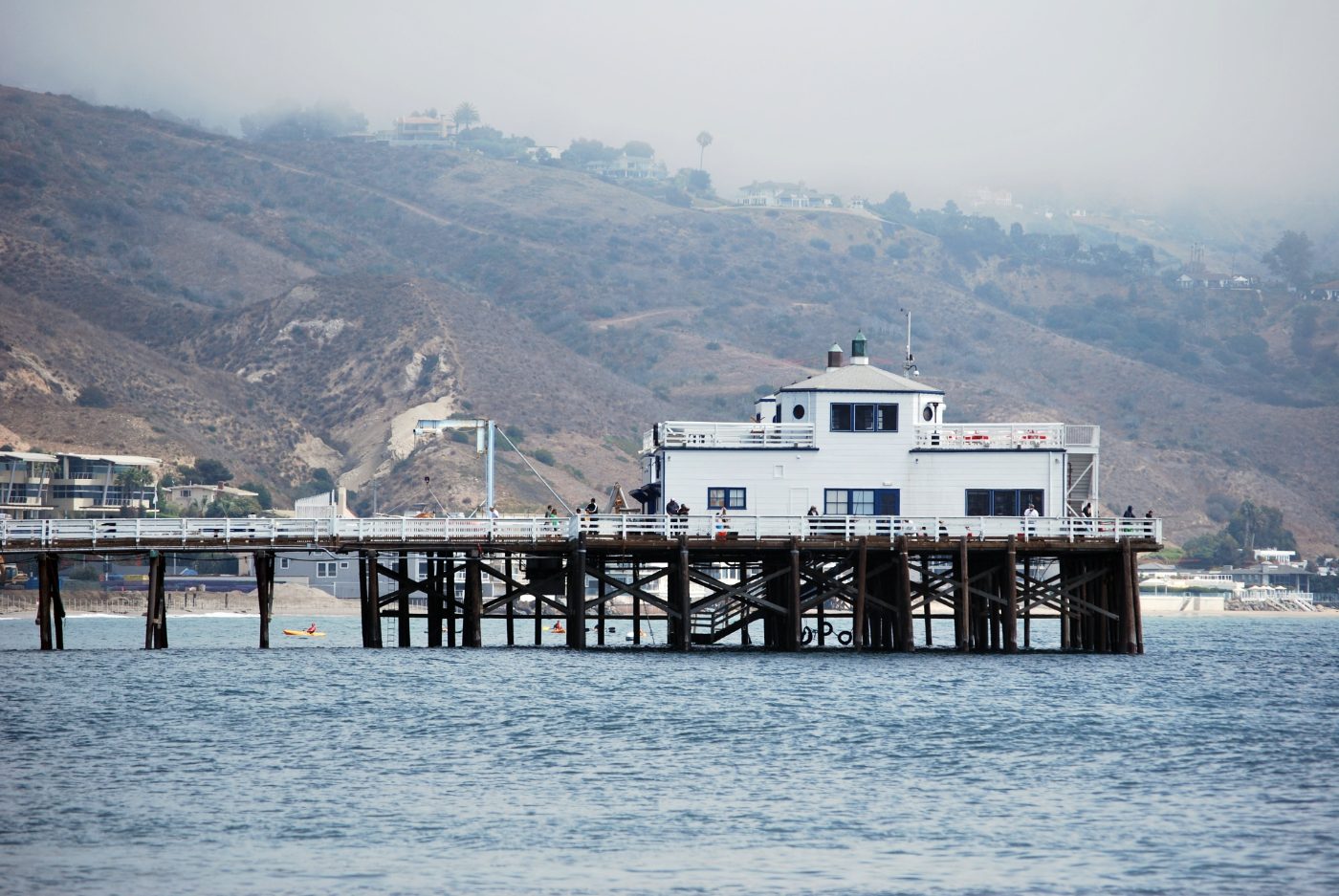
Malibu · First Point
Three surf breaks, a pier built for ranch supplies and a beach where surfers tried new board designs.
Florida
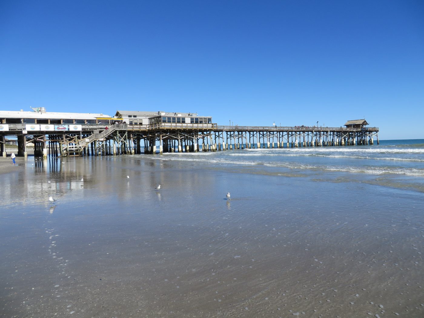
Cocoa Beach Pier
The pier opened in 1962. Years later, a 14-year-old Kelly Slater won here — and turned down the prize money.
North Carolina
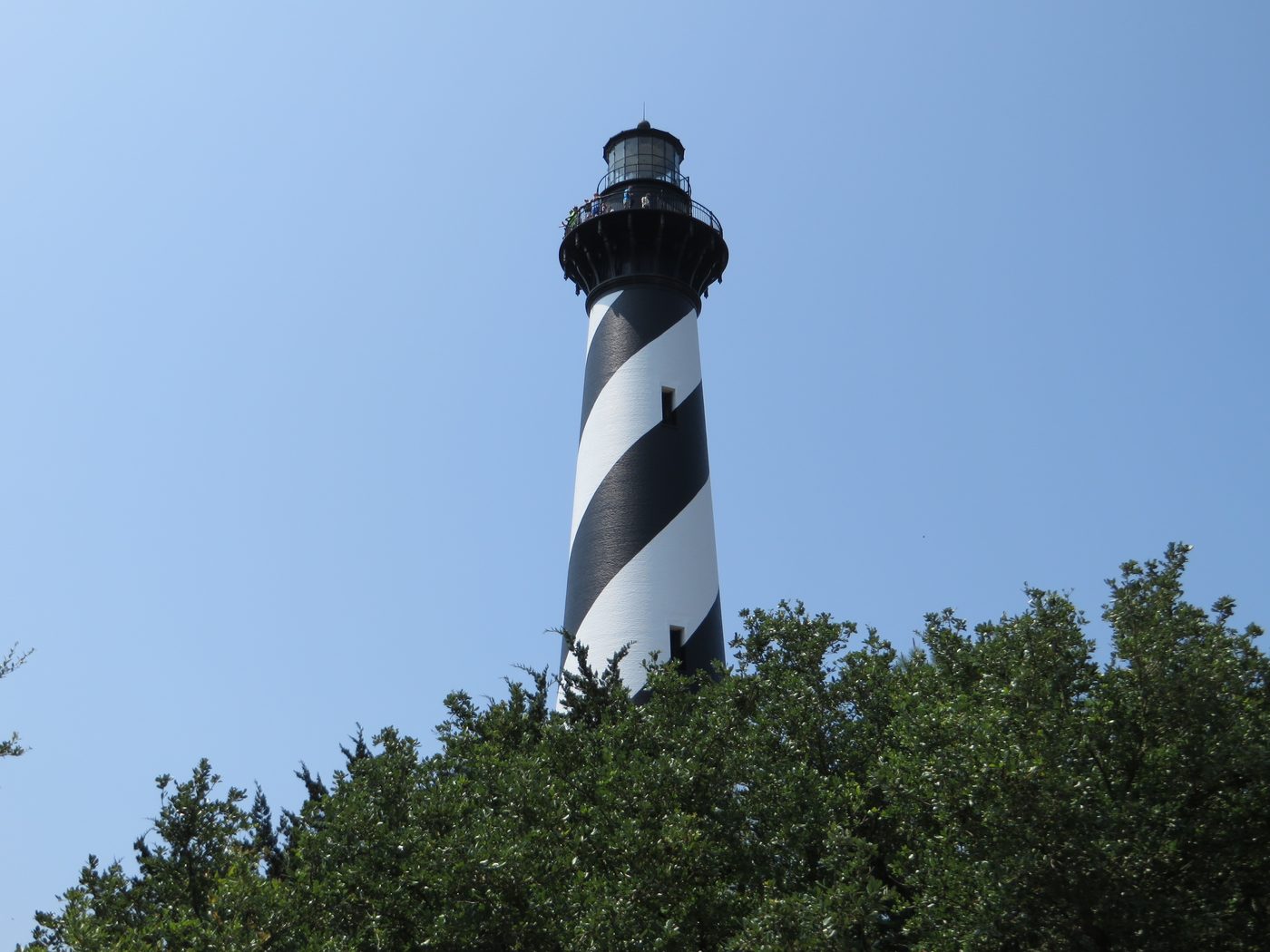
Cape Hatteras
In 1999, the whole lighthouse was moved 2,900 feet inland. The move took 23 days.
Queens · New York
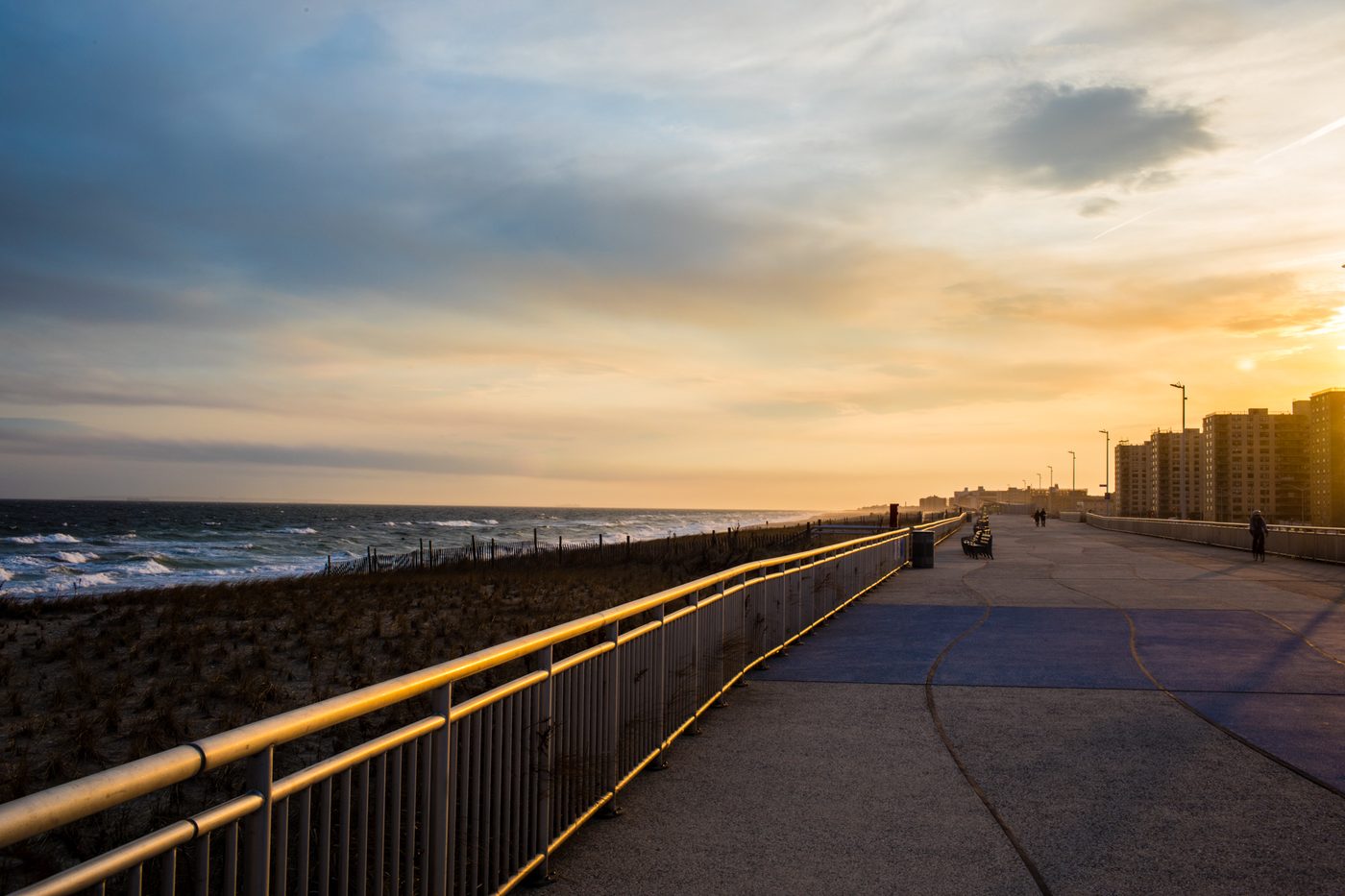
Rockaway Beach
Surfing in the city, the rules about where you could do it, and a boardwalk rebuilt after Sandy.
Oʻahu · Hawaiʻi
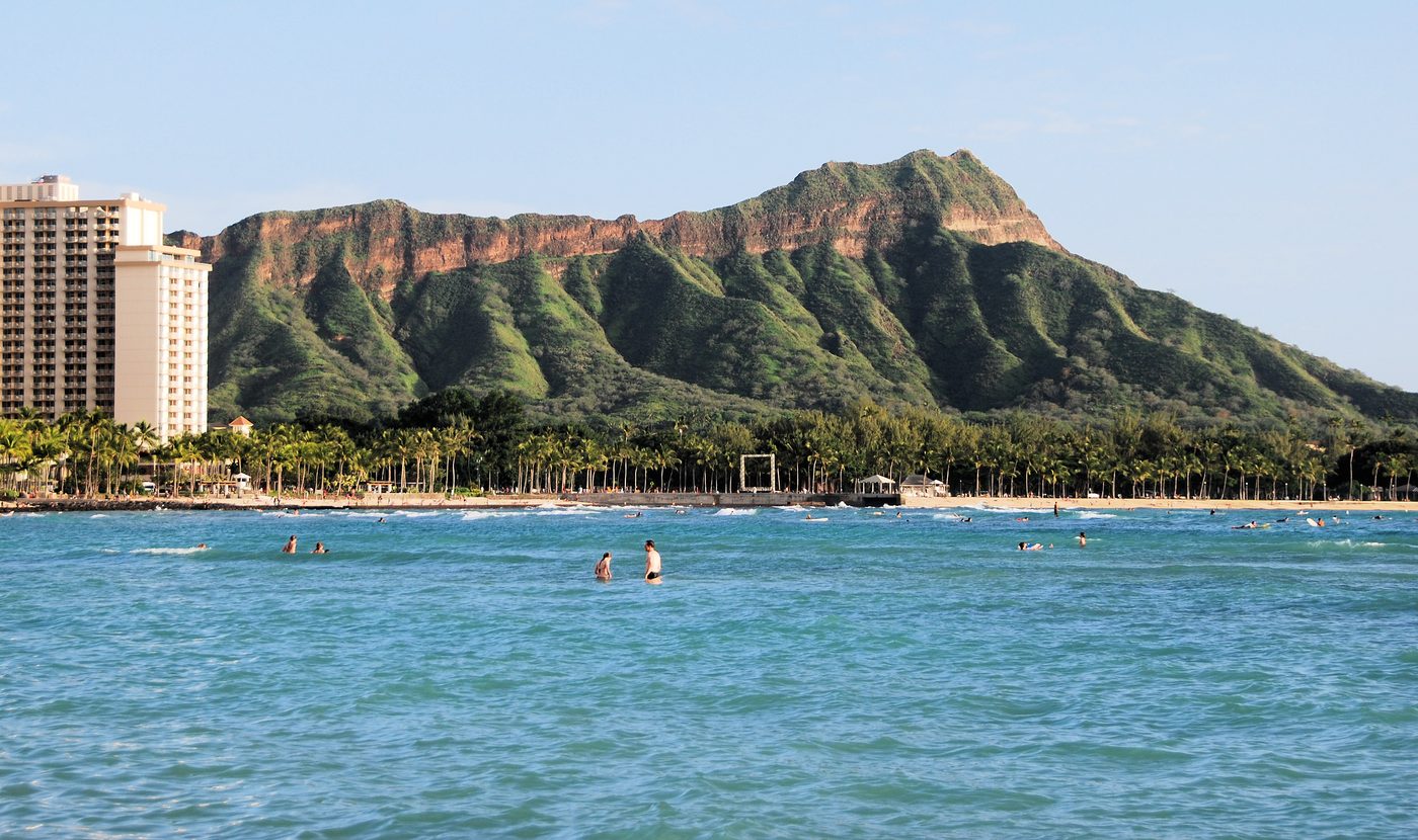
Waikīkī / Diamond Head
Surfing on wooden boards, and the volcanic landmark behind the beach.
California
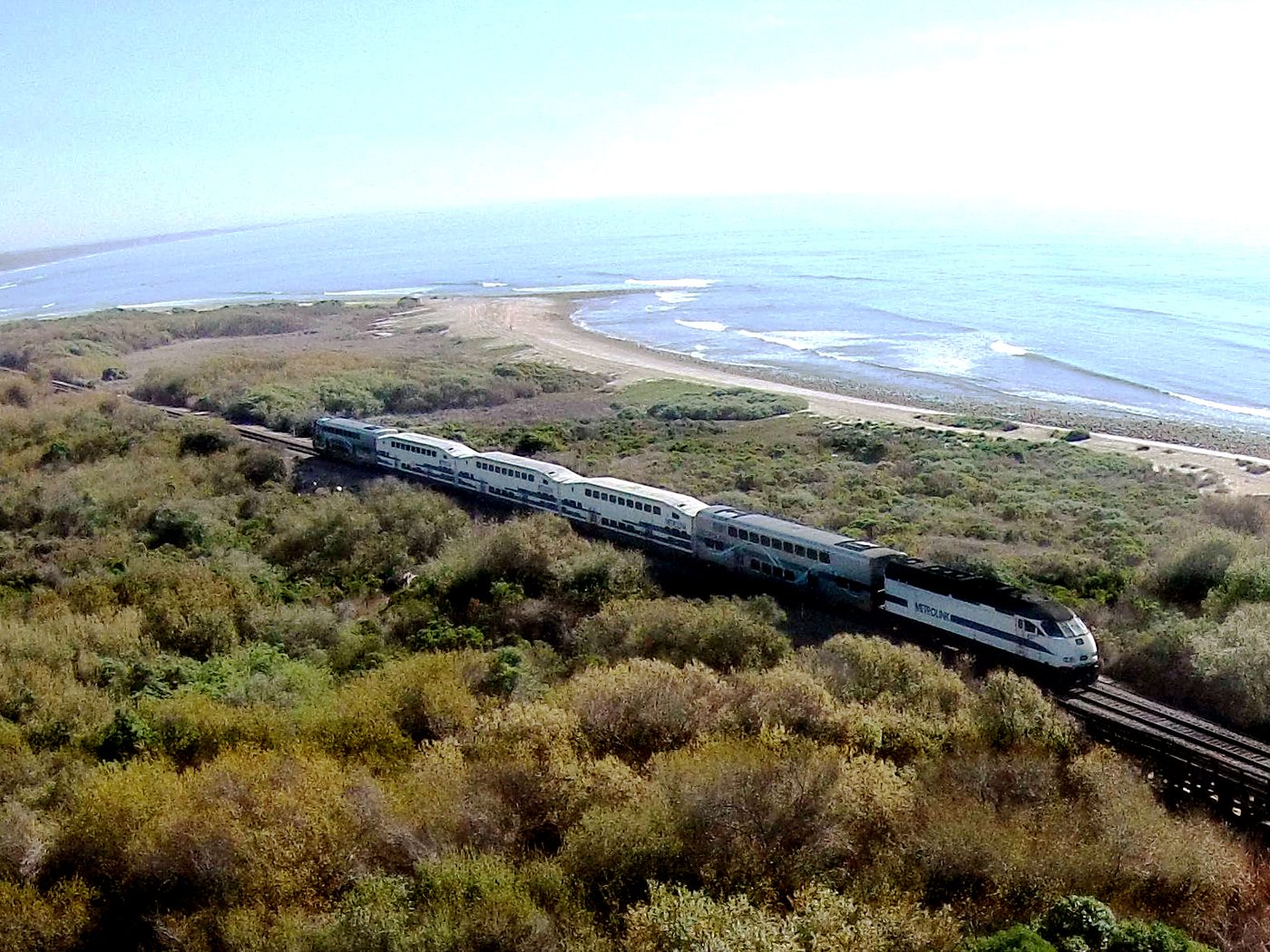
Trestles
The railway behind the name, the different breaks, and the fight over a road near the beach.
North Shore · Oʻahu
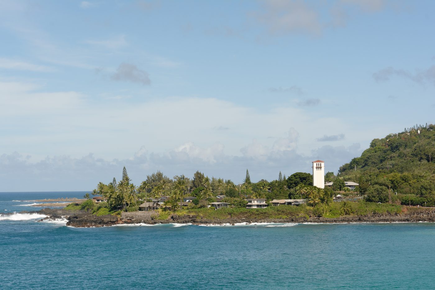
Waimea Bay
The bay has changed over time. Even its sand has a history.
Santa Cruz · California
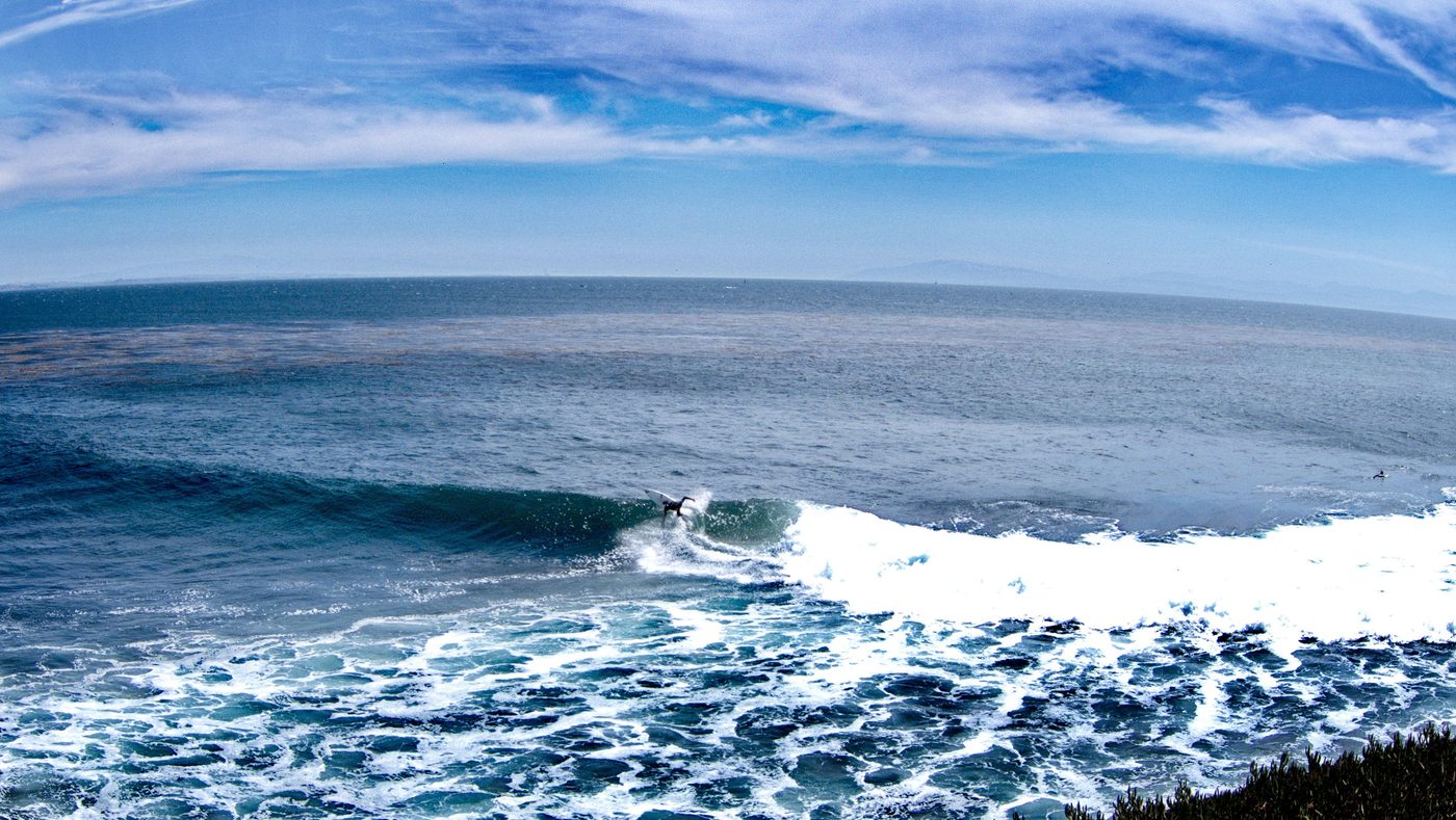
Steamer Lane
Three Hawaiian princes surfed nearby on homemade redwood boards in 1885 – boards that returned decades later for a museum exhibition.
Oregon
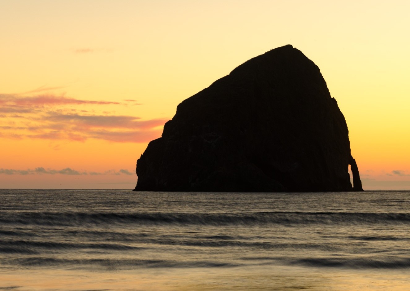
Cape Kiwanda / Pacific City
Since the early 1900s, Pacific City's dory fleet has launched straight through the surf below the cape.
La Libertad · El Salvador
El Tunco
Tunco is Salvadoran for pig, and the beach is named after the low rock lying partly underwater off the sand. The print looks out at it from the shade.
Australia & New Zealand
Victoria · Australia
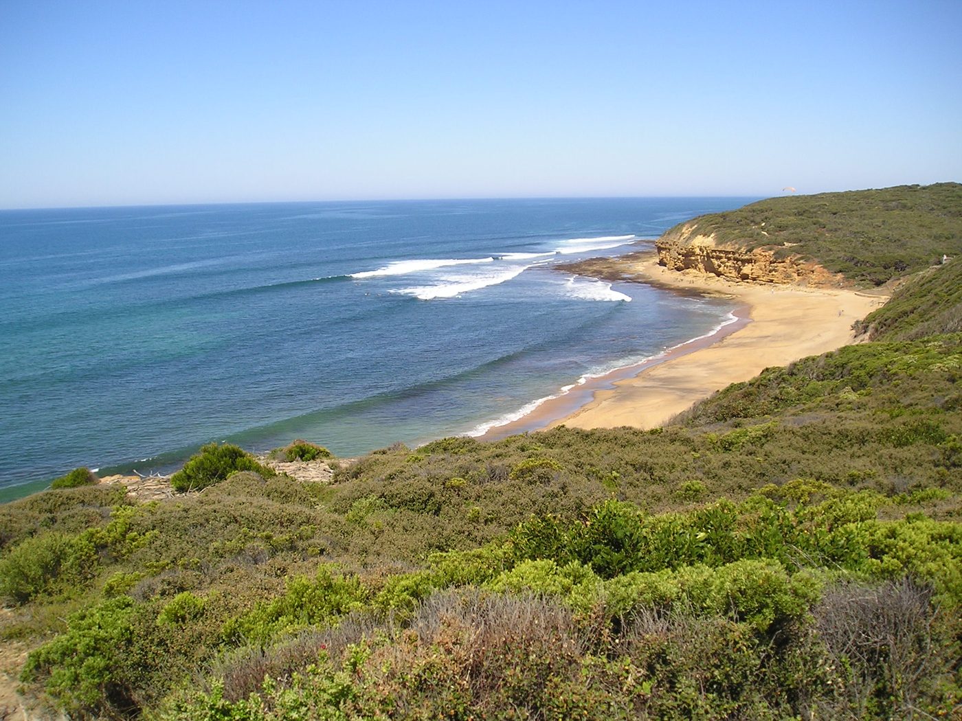
Bells Beach
The first contest here in 1962 ran on folding card tables and a megaphone. Later, surfers planted trees instead of paying to get in.
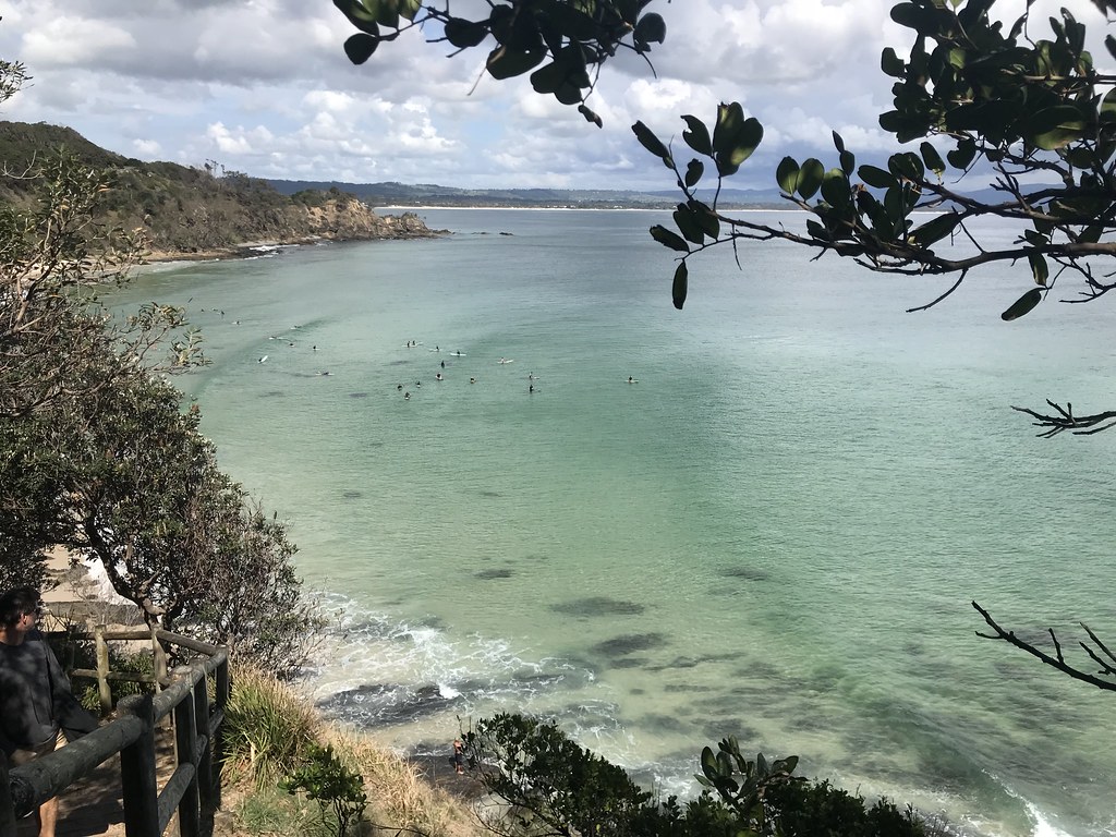
New South Wales · Australia
The Pass, Byron Bay
The familiar lookout sits beside a town that once processed whales. By the 1960s, surfers were arriving by train.
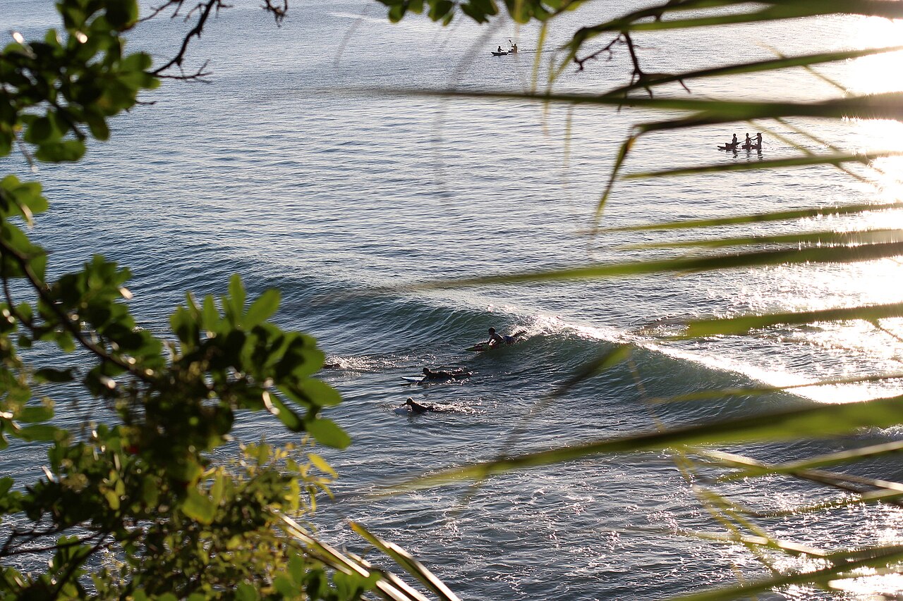
Queensland · Australia
Noosa First Point
A road was once planned around the coast. The campaign against it helps explain the green headland beside the surf today.
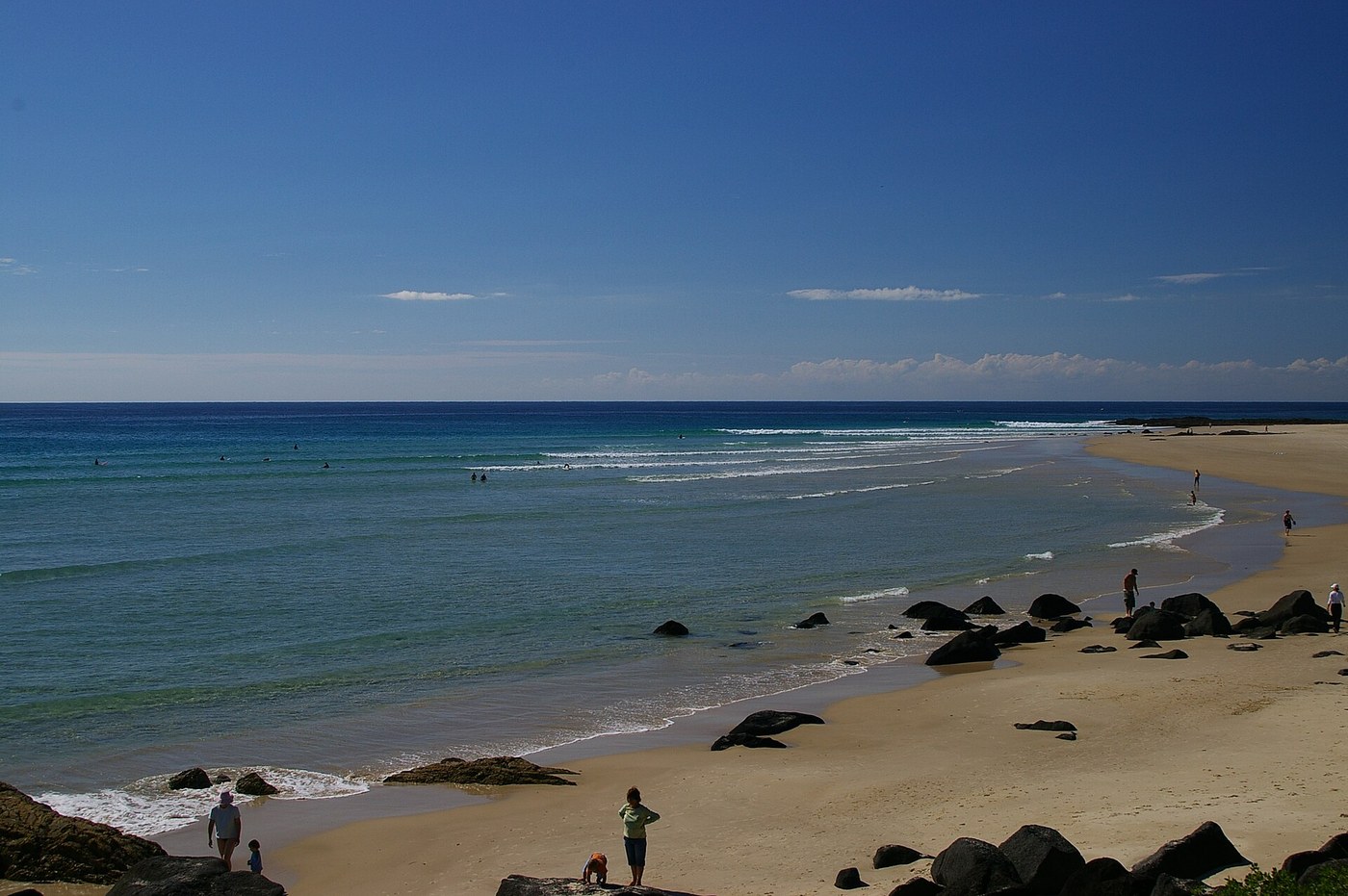
Queensland · Australia
Snapper Rocks
Part of the story is underground: pipes carry sand past the Tweed River entrance, then waves and currents take over.
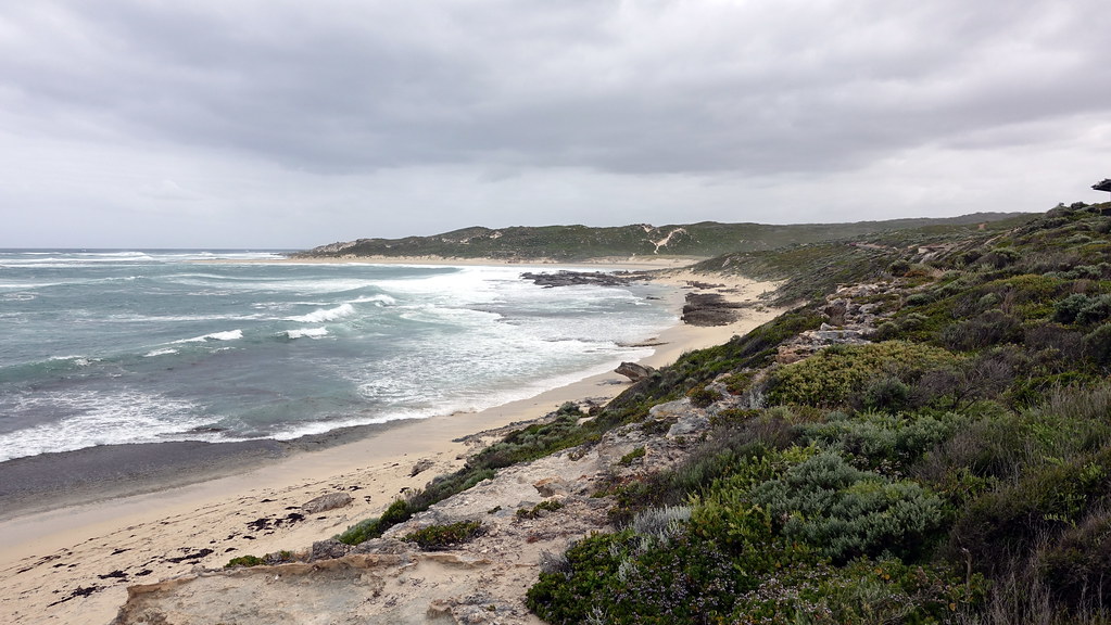
Western Australia · Australia
Surfers Point, Margaret River
In 1965, a group of surfers started saving two shillings a week for land in Prevelly. A simple club shack followed.
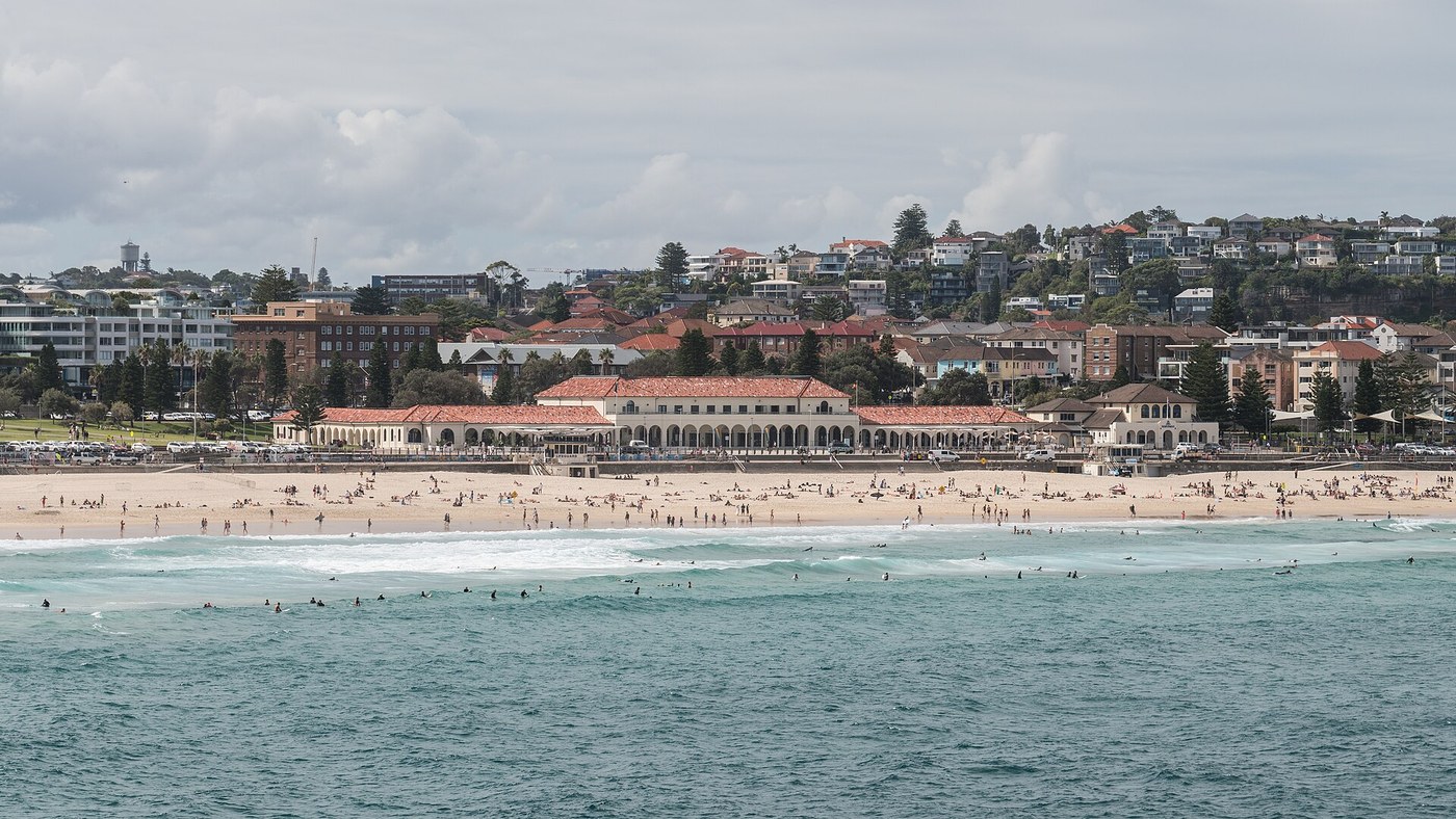
New South Wales · Australia
Bondi Beach
Changing rooms, hot seawater baths and a ballroom: Bondi Pavilion had quite a lot going on behind its beach-facing arches.
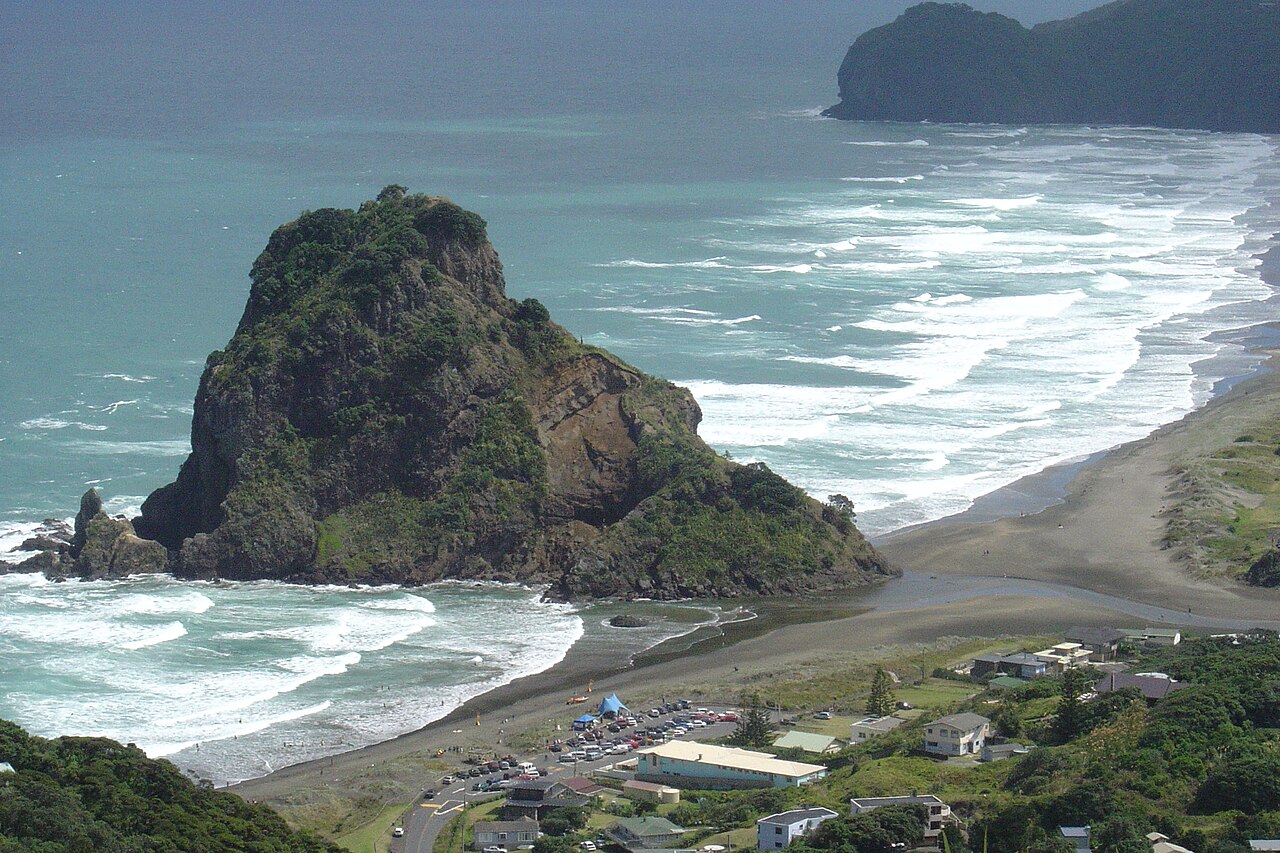
Auckland · New Zealand
Piha / Lion Rock
Two visitors arrived with lighter boards in 1958. Eighteen years later, North Piha hosted the opening event of the World Pro Tour.
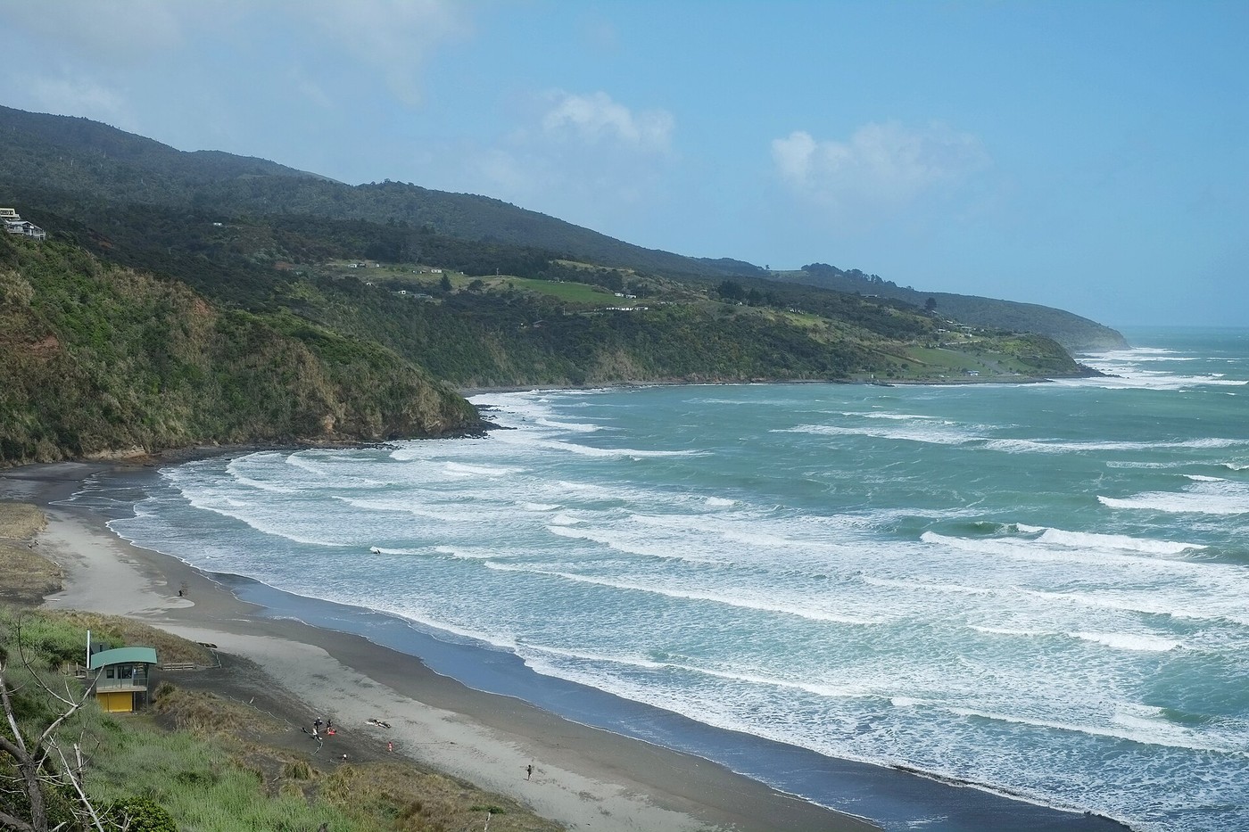
Waikato · New Zealand
Raglan / Manu Bay
Manu Bay appeared in The Endless Summer in 1966. Its place on New Zealand's coastal policy list tells another part of the story.
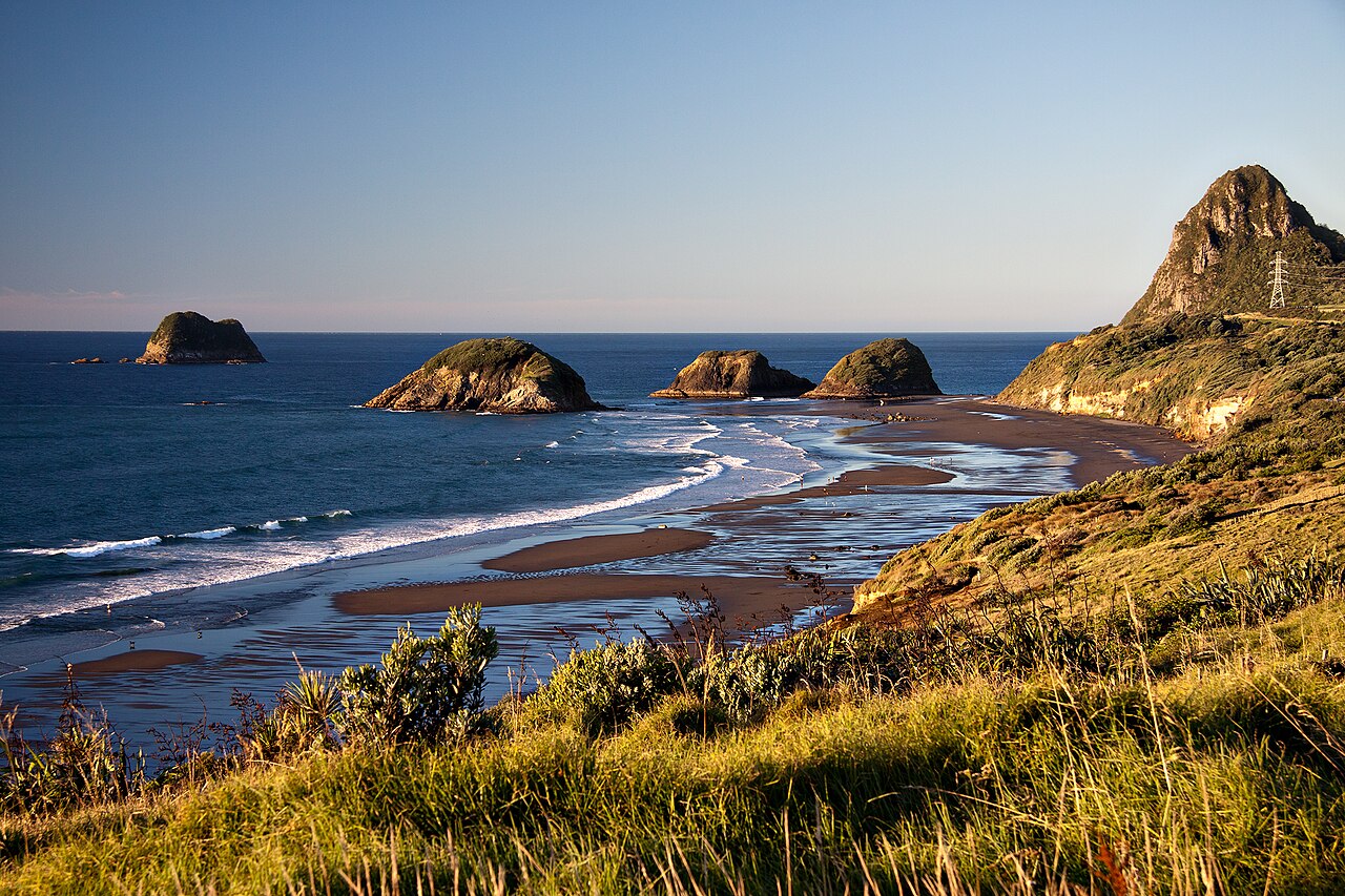
Taranaki · New Zealand
Back Beach / Paritūtū
The islands offshore are remnants of a volcano much older than Taranaki Maunga. Back Beach gives a close view of the setting.
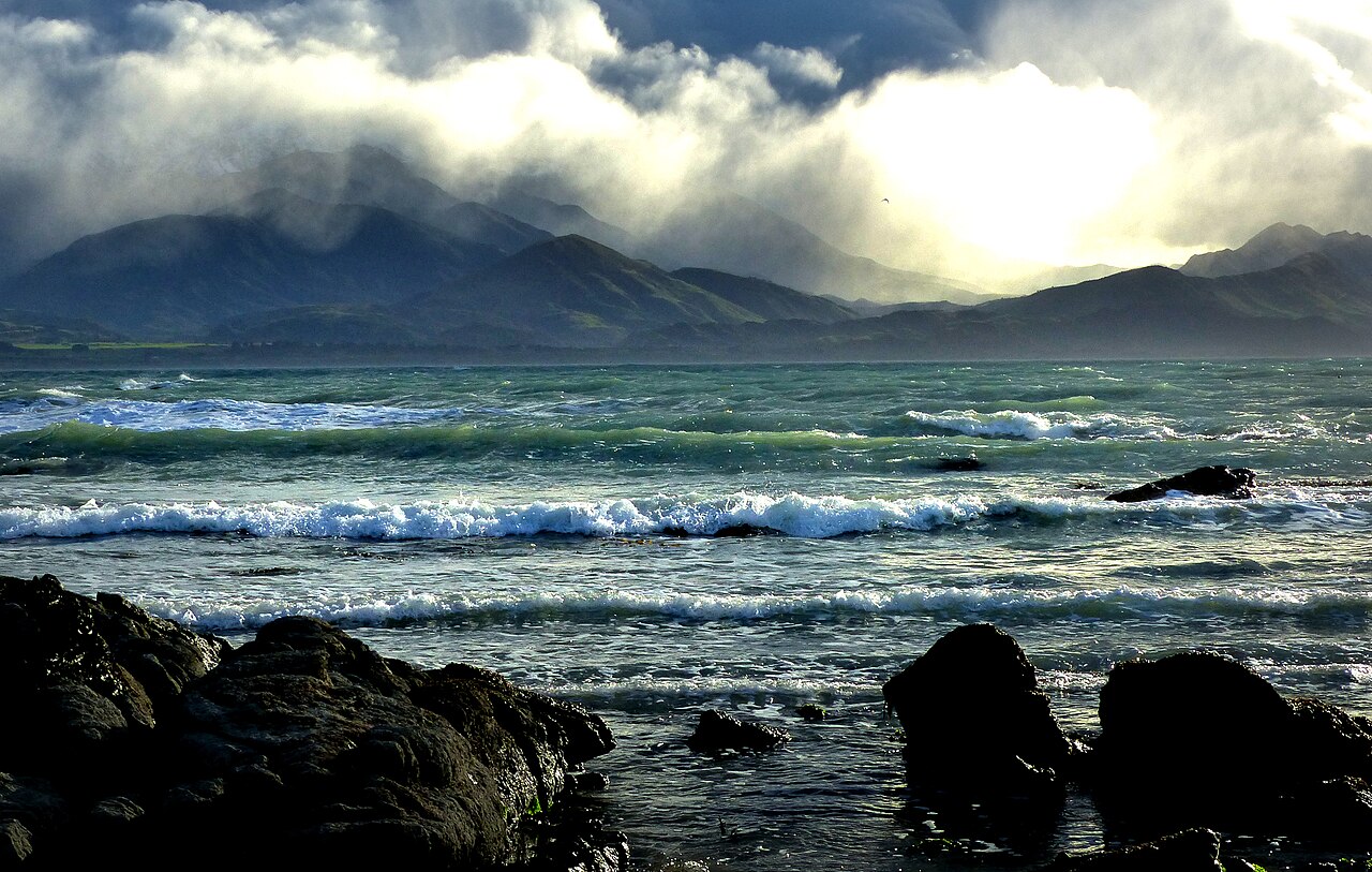
Canterbury · New Zealand
Mangamaunu / Kaikōura
Mountains close to the sea, a stony shore and a place on New Zealand's list of nationally significant surf breaks.
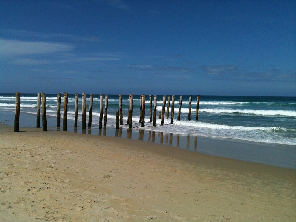
Otago · New Zealand
St Clair Beach
The wooden posts were built to help hold sand on the beach. Dunedin's records trace the first timber groynes here to 1894.
Europe
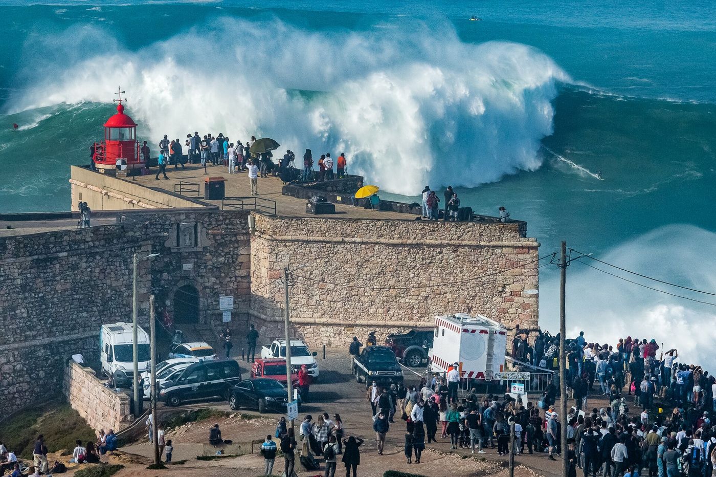
Oeste · Portugal
Nazaré
Work on the fort began in 1577. The red light arrived in 1903. The canyon below has been shaping the swell for far longer than either.
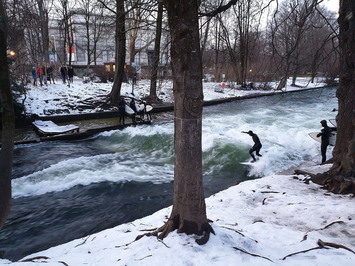
Munich · Germany
Eisbach
A surf break 700 km from the sea, in a city park. The wave took shape after channel works in the 1970s, and the city gave surfing a legal basis in 2010.
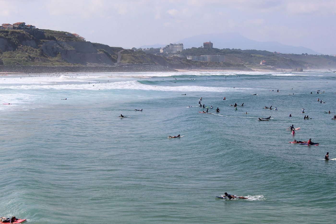
Biarritz · France
Côte des Basques
A screenwriter came back from California in 1957 with surfboards. Two years later Biarritz had a surf club, and in 1964 a national federation.
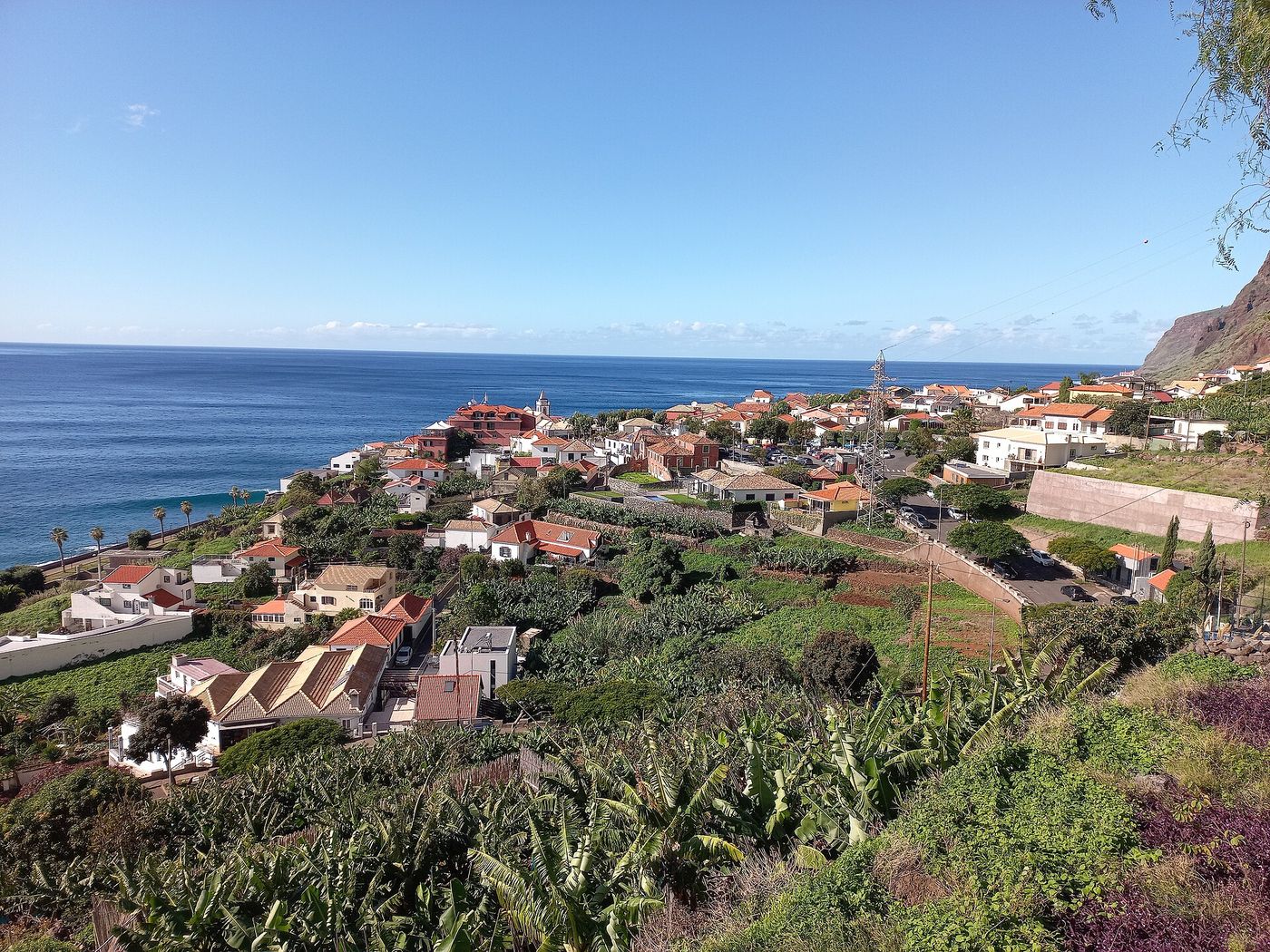
Calheta · Madeira
Jardim do Mar
Surf magazines called it the European Hawaii. Then, in the early 2000s, a seawall went up along the shore – and the wave was never the same.
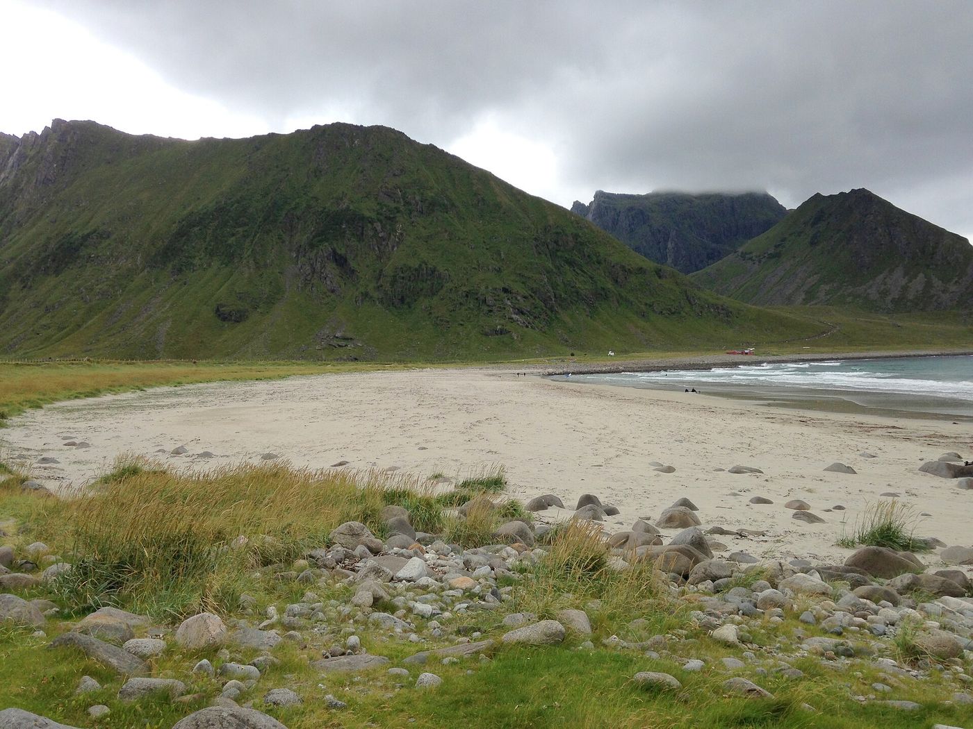
Lofoten · Norway
Unstad
Two men from the village had seen surfing at Bondi Beach. In 1963 they built their own boards and paddled out above the Arctic Circle.
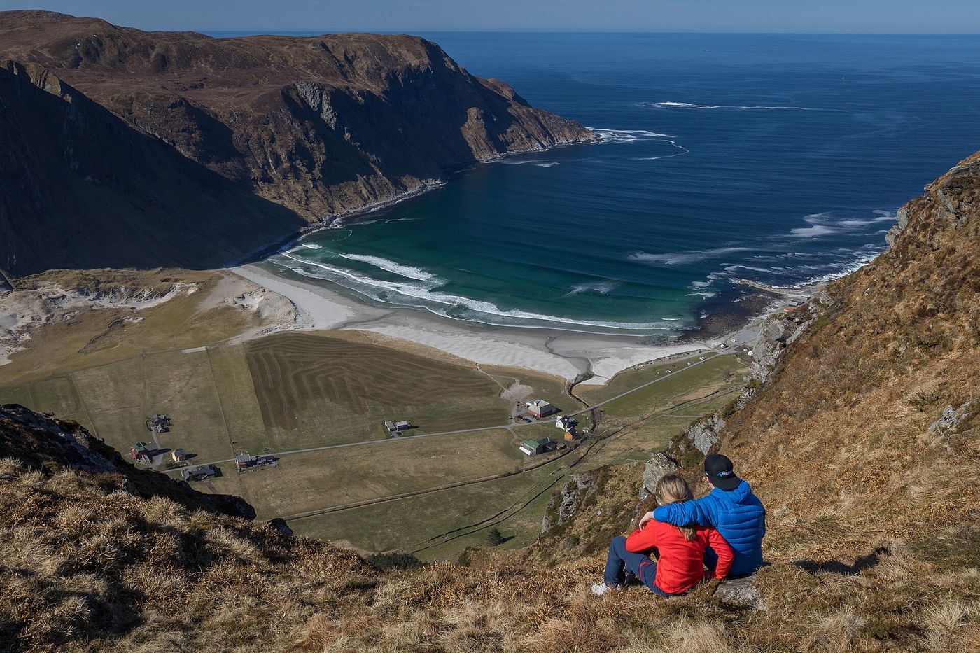
Stad · Norway
Hoddevik
The road folds down the mountainside in tight bends before the valley opens: four farms, a pale beach and the open sea. Norway chose it as one of its most valuable landscapes in 2009.
Asia
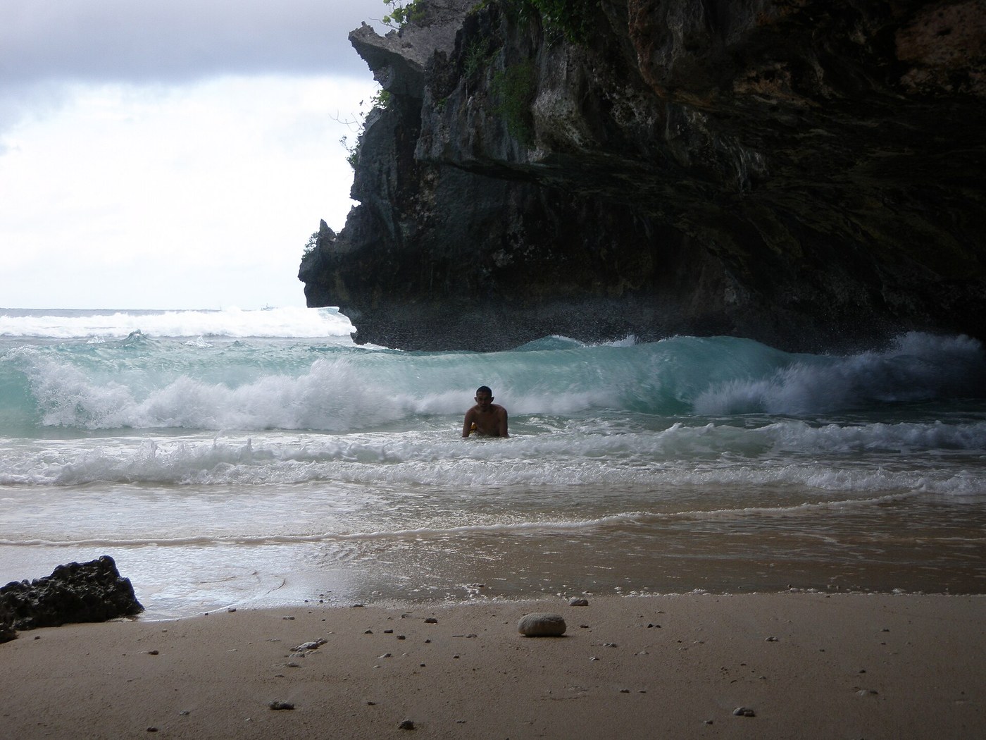
Bali · Indonesia
Uluwatu / Suluban Beach
In 1971, a teenage surfer wrote about the walk to Uluwatu and the cave below the cliffs. The film came out the following year.
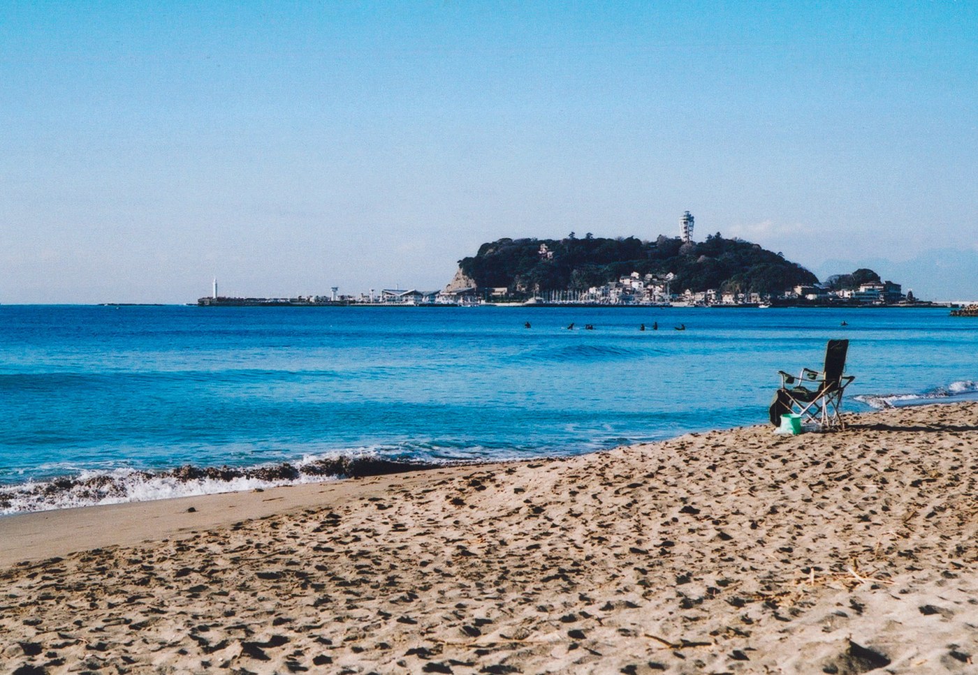
Kanagawa · Japan
Shonan / Enoshima
One Kugenuma surfer traced his interest to a magazine he read in 1947. Then came years of trying to make his own boards.
Siargao · Philippines
Cloud 9
A photographer named the reef after the chocolate bar his crew ate every day in 1992. The boardwalk and tower came in 2003, were swept away by a typhoon in 2021, and are being rebuilt.
Canggu · Bali
Batu Bolong
A paved path past dense green to a temple above the water – and behind it a village whose rice fields have given way to hotels within one generation. Our print keeps the path.
Pecatu · Bali
Padang Padang
You squeeze through a gap in the limestone and go down the stairs one person at a time before the sand appears. The village calls the beach Labuan Sait; the contest has used the other name since 2004.
South America
La Libertad · Peru
Chicama
Chuck Shipman saw the lines from a plane window in 1965 and picked the biggest name on his map. Carlos Barreda and five friends found the beach in a Citroën 2CV. Fifty years later Peru protected it by law.
Trujillo · Peru
Huanchaco
Fishers still launch reed craft from this beach. Peru declared the caballito de totora national heritage in 2003 and protected the reed beds by law in 2018; the surf reserve came in 2013. Our print shows five of them standing in the sun.
Africa
Know one of these places?
A story we’ve missed? Something we’ve got wrong? We’d like to hear it.
Photo credits
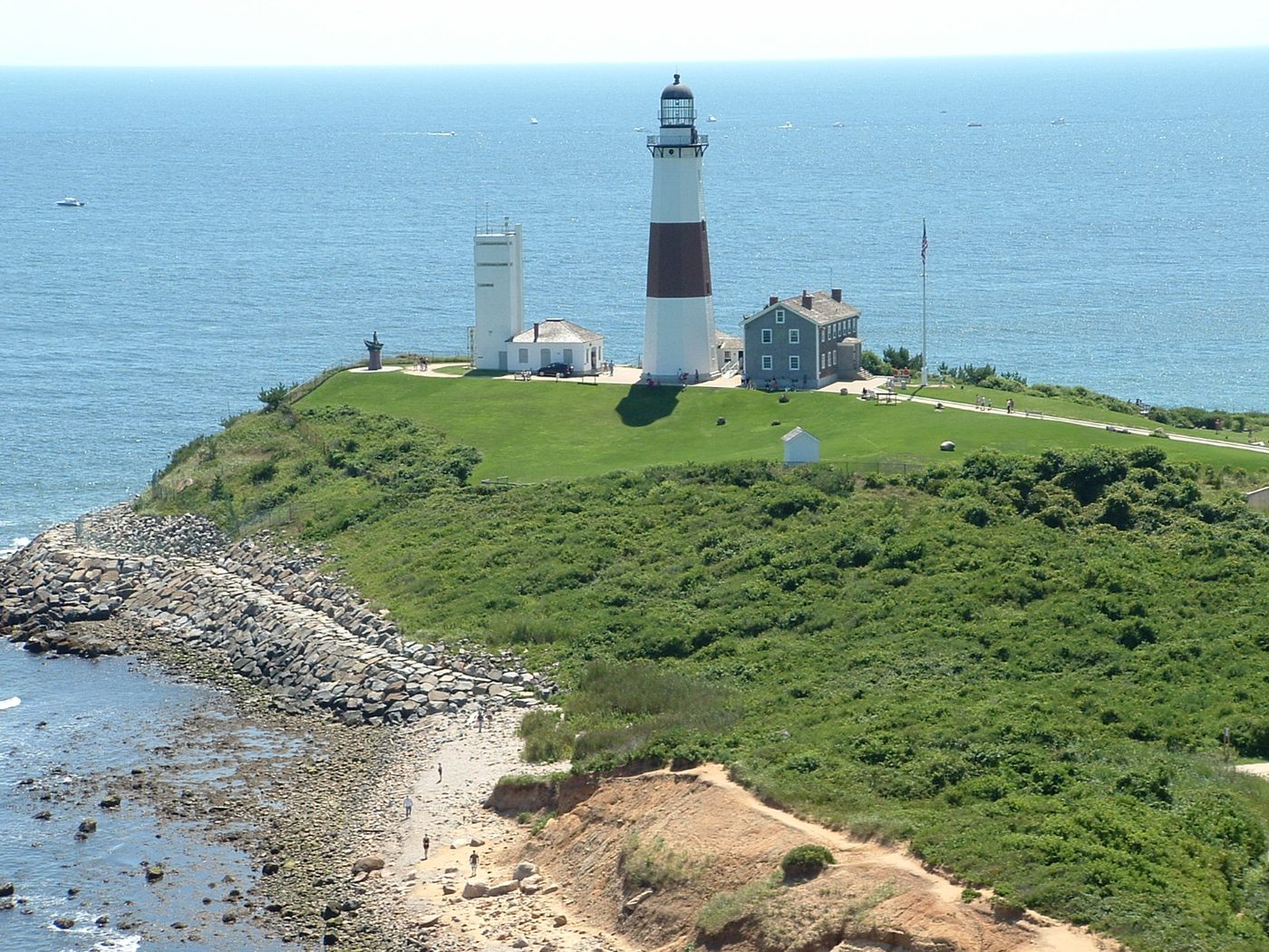
Montauk Point Lighthouse and its coastal setting, photographed on 17 August 2008, resized for this page. Photo: Pamela Bednarik / U.S. Coast Guard, via Wikimedia Commons. Public domain (U.S. federal government work).
The Surf Shack at Windansea Beach, La Jolla, photographed in April 2008, resized for this page. Photo: Intelligence3, via Wikimedia Commons, CC BY-SA 3.0.
The Malibu Pier from Surfrider Beach, photographed on 11 September 2010, resized for this page. Photo: Darin R. McClure, via Wikimedia Commons, CC BY 3.0.
Cocoa Beach Pier from the beach, photographed on 18 January 2014, resized for this page. Photo: Leonard J. DeFrancisci. Cocoa Beach Pier (Cocoa Beach, Florida) 002 via Wikimedia Commons, CC BY-SA 3.0.
Cape Hatteras Lighthouse after its relocation, photographed on 18 June 2014, resized for this page. Photo: Ken Lund. Cape Hatteras Light Station (Lighthouse), Cape Hatteras National Seashore, Buxton, North Carolina via Wikimedia Commons, CC BY-SA 2.0.
Rockaway Beach and its rebuilt boardwalk, photographed on 30 March 2019, resized for this page. Photo: spurekar. Sunset on the boardwalk via Wikimedia Commons, CC BY 2.0.
Diamond Head seen from Waikīkī, photographed on 19 December 2008, resized for this page. Photo: Ossewa, via Wikimedia Commons, CC BY-SA 4.0.
The railway and coast at Trestles, photographed on 2 February 2015, resized for this page. Photo: Andrewaronoshn, via Wikimedia Commons, CC BY-SA 4.0.
Looking across Waimea Bay towards Pūpūkea, photographed on 6 December 2013, resized for this page. Photo: Daniel Ramirez. View across Waimea Bay via Wikimedia Commons, CC BY 2.0.
Steamer Lane, Santa Cruz, photographed on 3 August 2015, resized for this page. Photo: Henry Zbyszynski, via Wikimedia Commons, CC BY 2.0.
Pacific City's Haystack Rock at sunset, photographed on 29 August 2012, cropped for this page. Photo: Gary Halvorson, Oregon State Archives, via Wikimedia Commons, CC BY 4.0.
Bells-Beach-View, photographed on 11 March 2006. Photo: Triki-wiki, via Wikimedia Commons, CC BY-SA 3.0. Resized for this page; photograph remains under the same licence.
The Pass at Byron Bay, photographed in 2017. Photo: Bex Walton, The Pass beach, Byron Bay, seen from Cape Byron, CC BY 2.0.
Surfers at Noosa Heads, photographed in 2013. Photo: Renee Whelan, Noosa Heads beach, CC BY-SA 4.0.
Looking across Rainbow Bay towards Snapper Rocks from Greenmount, 2007, resized for this page. Photo: John Robert McPherson, Rainbow Bay and Snapper Rocks from Greenmount, Gold Coast IMGP2062, CC BY-SA 4.0.
Surfers Point on the Margaret River coast, photographed in 2019. Photo: David Jones, Surfers Point, CC BY 2.0.
Bondi Pavilion and the beach, photographed in 2023, resized for this page. Photo: DXR, Bondi Pavilion and beach, south view 20230224 1, CC BY-SA 4.0.
Piha Beach and Lion Rock, viewed from above. Photo: Follash, Piha and Lion Rock, Public domain (author release).
Looking west towards Manu Bay, photographed on 6 October 2012, resized for this page. Photo: Pseudopanax, View west towards Manu Bay, Raglan, Public domain (author release).
Back Beach, Paritūtū and the offshore islands, photographed on 24 January 2011. Photo: Dave Young, Sun setting on back beach, CC BY 2.0.
The wider Kaikōura coast, photographed on 25 June 2014. Regional context; this photograph is not taken at Mangamaunu. Photo: Bernard Spragg. NZ, Seascape. Kaikoura. NZ, CC0 1.0.
Timber groyne posts at St Clair Beach. Photograph uploaded in November 2011; capture date unconfirmed. Photo: Jo Fothergill (dragonsinger), Poles at St Clair Beach, CC BY-SA 2.0.
Forte de São Miguel Arcanjo, its red light and the sea at Praia do Norte. Photo: Luis Ascenso, via Wikimedia Commons, CC BY 2.0. Reduced-resolution copy; full image shown.
The Eisbach wave in Munich on 8 February 2019. Photo: Strubbl, via Wikimedia Commons, CC0 1.0. Reduced-resolution copy; full image shown.
Surfers off Côte des Basques, Biarritz, photographed in 2019. Photo: Vorlod, via Wikimedia Commons, CC BY-SA 4.0. Reduced-resolution copy; full image shown.
Jardim do Mar, Madeira, photographed in 2024. Photo: Asurnipal, via Wikimedia Commons, CC BY-SA 4.0. Reduced-resolution copy; full image shown.
The beach at Unstad, Lofoten, photographed in 2013. Photo: Андрей Бобровский, via Wikimedia Commons, CC BY 3.0. Reduced-resolution copy; full image shown.
Hoddevik in Stad, photographed in 2019. Photo: Svein Magne Tunli, via Wikimedia Commons, CC BY-SA 4.0. Reduced-resolution copy; full image shown.
Suluban Beach, photographed on 28 February 2010, resized for this page. Photo: tigoretagore, Suluban Beach, Pecatu, Bali - Indonesia - panoramio, CC BY-SA 3.0.
Shonan beach and Enoshima, photographed on 29 April 2024, resized for this page. Photo: Kirin7739, Shonan beach and Enoshima, CC BY 4.0.