Waimea Bay: surfing, old photographs and a changing beach
Compiled by Surf Haunts · Updated 2026-09-20
Waimea Bay curves into Oʻahu's North Shore, with a broad sandy beach and dark rock at its western side. A photograph can make that outline seem permanent. Look through older records, though, and the beach has a less straightforward story.
Start with heʻe nalu
The Hawaiian term for surfing is heʻe nalu. The University of Hawaiʻi's Kahoʻiwai introduction to heʻe nalu places Waimea among the Oʻahu locations connected with the practice.
That is a helpful starting point for a place so often introduced through modern surfing. The university's account describes a much older Pacific tradition, practised by both chiefs and commoners. Waimea belongs within that wider history.
The beach in the old photographs
Some of the most revealing pictures of Waimea were taken from above. The university's historical shoreline study of the bay compares old charts and aerial photographs, including evidence of sand mining in the mid-twentieth century.
The researchers associate that mining with the shoreline retreating more than 200 feet. They also explain why the earlier, heavily altered shoreline positions were left out of their calculation of more recent change.
It gives an old beach photograph something extra to tell you. The position of the water against the land may record human activity as well as the movement of the sea.
The rock in the picture
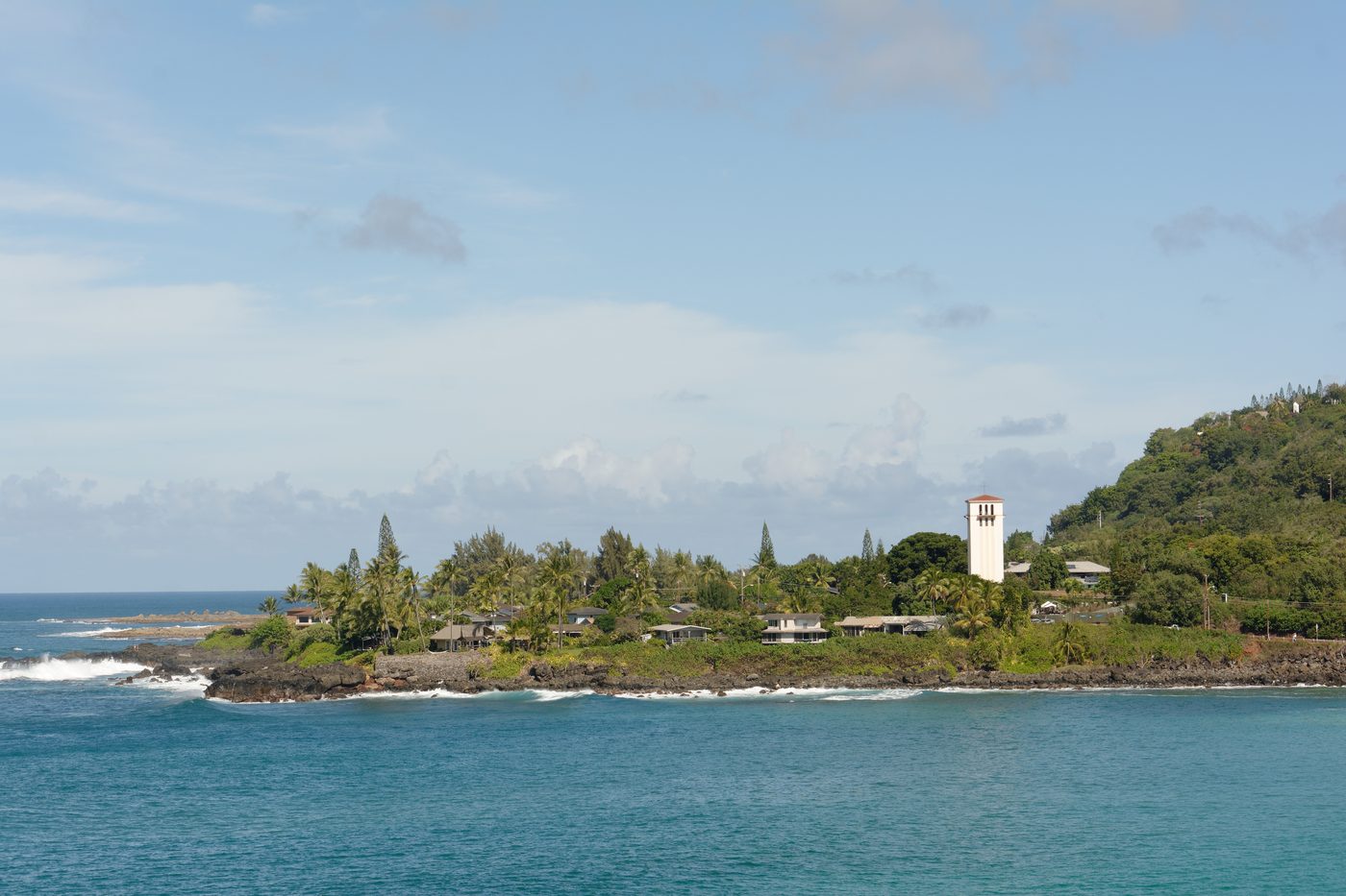
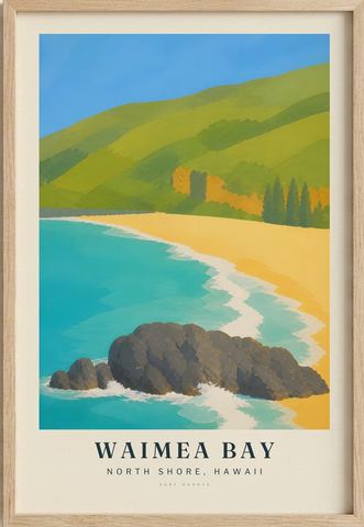
Waimea Rock is the dark landmark on the western side of the bay. Our illustration brings it forward against the curve of sand. The photograph above looks across the water towards the opposite shore, so it shows a different part of the same place.
Got an older view of Waimea?
A dated family photograph or a memory of how the beach used to look would be a useful addition. If you have one, or a correction, let us know. We'll ask before publishing anything you send and agree with you how to credit it.
Our Waimea Bay print
Our version pairs the dark rock with a gold beach and turquoise water. It's an interpretation of the bay, rather than a record of a particular day's conditions. You can see the Waimea Bay print in the collection.
Compiled from public historical sources and fact-checked against them at the time of writing – not a first-hand or local account. Corrections and memories are welcome; we verify before publishing anything sent in.